Gis Maps
Advertisement
ArcGIS Explorer v.10.0.1700
ArcGIS Explorer Desktop is a free GIS viewer that gives you an easy way to explore, visualize, and share GIS information. ArcGIS Explorer adds value to any GIS because it helps you deliver your authoritative data to a broad audience.
Advertisement
MapSphere v.1.0.250
MapSphere is a mapping software for Windows that:downloads maps and SATellite Images from different sources (OpenStreetMap, Terraserver, LandSat, and others);stores all the mapping data on the hard drive for offline use;represents the map in 2D and 3

Aspose.Flash for .NET v.2.9.0.0
Aspose.Flash is a non-graphical .NET Flash management component allowing developers to dynamically generate and edit Flash® content directly from .NET applications. It provides complete support for Flash v8, Flash v9, Flash Lite and ActionScript.
ORIMA v.10.0
ORIMA is an LPS add-on providing advanced aerial triangulation and visual analysis tools.
Stereo Analyst for ArcGIS v.9 3
With Stereo Analyst for ArcGIS, create and revise a comprehensive database of feature data. Stereo visualization improves the interpretation of images and allows for more precise collection leading to greater accuracy in your resulting layers.
ERDAS Desktop 2011 v.11.0.3
ERDAS creates geospatial business systems that transform our earth's data into business information, enabling individuals, businesses and public agencies to quickly access, manage, process, and share that information from anywhere.

GIS ObjectLand v.2. 6. 2003
GIS ObjectLand is a universal Geographic Information System for Windows. Key features: - creation of vector-raster maps with arbitrary structure of layers and feature types; - creation of themes. Theme is a user presentation of a map; - control of

Icons-Land Vista Style GIS/GPS/MAP Icon Set v.2.0
Vista Style GIS/GPS/Map Icon Set is of perfect design quality. Being represented in 7 sizes, icons can be widely used in local service applications, GPS tracking and GIS applications, and any kind of mapping applications.

Algolab Raster to Vector Conversion CAD/GIS SDK v.2 55
Software development kit for CAD/CAM/ GIS and graphic software developers. Converts from raster to vector and refines architect, mechanical, tech drawing, maps, math graphs, graphics for books and journals and more.
Quantum GIS v.1.8.0
Cross-platform and user friendly Open Source Geographic Information System (GIS). Quantum GIS (QGIS) is a user friendly Open Source Geographic Information System (GIS) that runs on Linux, Unix, Mac OSX, and Windows. QGIS supports vector, raster,

Grass GIS for Mac OS X 6.4.1-3 v.3
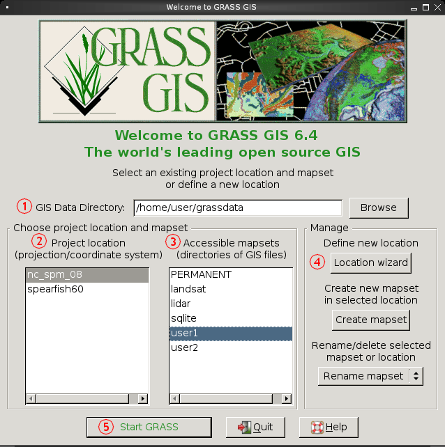
Commonly referred to as GRASS, this is a free Geographic Information System (GIS) used for geospatial data management and analysis, image processing, graphics/maps production, spatial modeling, and visualization.